Trilleen and I slipped out of Humber Cruising Associations marina at 2300 into the dark chaos of the Humber Estuary with ships of all sizes issuing from the river at up to three times the speed Trilleen is capable of on her best day. Fortunately we were able to escape the lanes soon enough cutting across the Donna Nook air weapons range where the RAF and friendly air forces routinely pound target barges with bombs and shells. Trilleen shaped her course on the rhumb1 line direct for the nub of East Anglia at Cromer in north Norfolk.
I was feeling much less than good when I left the Humber. In particular I was grumpy because I knew that some hours of the passage would have to be under engine due to a wind switch from the east to the north west. My ill temper was enhanced by the fact that the cruising association marina there is tide locked with a fairly narrow period of free flow ±2 hours on HW2 That forced the departure at HW Humber to an unsocial hour, meaning we began sailing deep into the night.
As we turned south Trilleen and I reached south in melancholy silence through the shallow silty green of the southern North Sea. Below lies the drowned mesolithic civilisation of Doggerland, submerged by the last great climatic convulsion as the ice which bound our lands withdrew. The edges of the today’s littoral and recoveries from the sea bed bear witness to a richness of a culture which made sophisticated stone tools, thriving on a coastal tundra where hunting was possible year round. Though the physical bridge that made these present islands a peninsula is gone, burying all but the faintest traces of the places and people who flourished here, the bridge remains in spirit, even growing, as the spidering traces of pipelines, power and data cables are trenched across the attractively shallow waters to link these islands to our partners and friends whose coasts lie so close to ours.
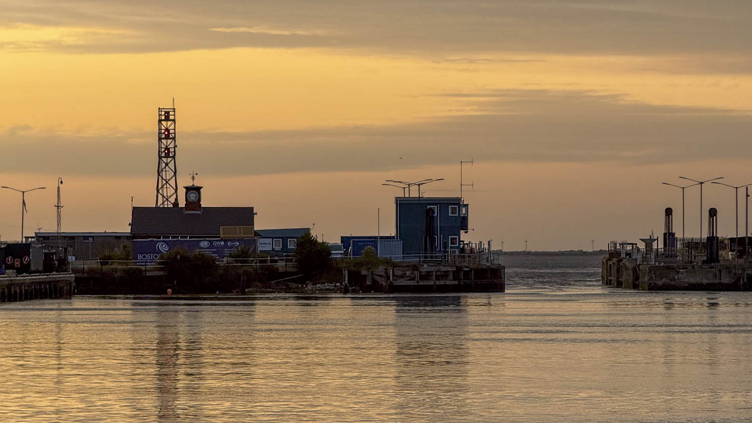
Soon enough we were reaching down across the feared tidal plain of The Wash, that bite taken out of Lincolnshire north of East Anglia, I noted, without temptation, the entrances to the channels which lead seafarers to Kings Lynn or Boston, through treacherous waters where channels shift by miles each year. My ill temper slowly eased when underway, I think the cool breeze helped, the preceding days had been heatwave hot, and I had been travelling, which always takes its toll as the splints and continence products I wear make overheating so very easy.
Across the Wash we slowly closed the wild, low sand fringed coast of North Norfolk, an uncertain smudge of yellow brown along the horizon. Soon enough Trilleen was close enough to touch those sands, hanging suspended in the contrary tide off Cromer despite the suddenly fierce northerly wind, until the tide released us to round Lowestoft Ness and pass through the great arms of Lowestoft Harbour there to make mooring at the Royal Norfolk and Suffolk Yacht Club.
- Rhumb Line: a line which is straight on a mercator projection chart: formally stated a line which crosses all meridians of longitude at the same angle. Because of the way the mercator projection works, this means it is a curve on the surface of the earth, specifically a Loxodromic curve. On passages with legs >500nm this becomes measurably inefficient and a more efficient track can be achieved using a Great Circle Track ↩︎
- The Fish Dock at Grimsby has shelf of drying mud outside. Water is retained by a gate, which is open from tow hours before to two hours after High Water, allowing entrance and exit for four hours every twelve. ↩︎